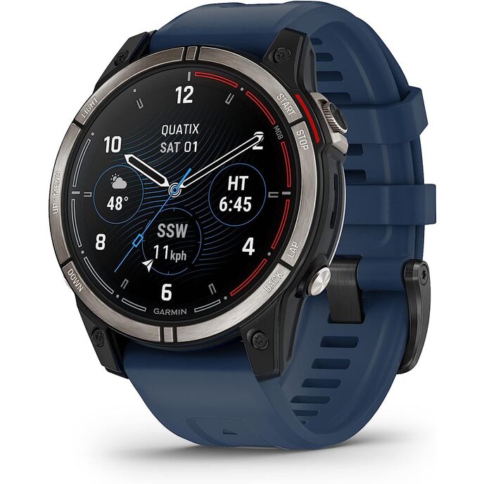
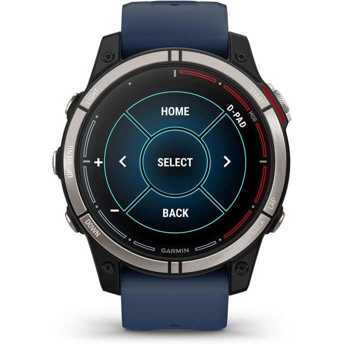
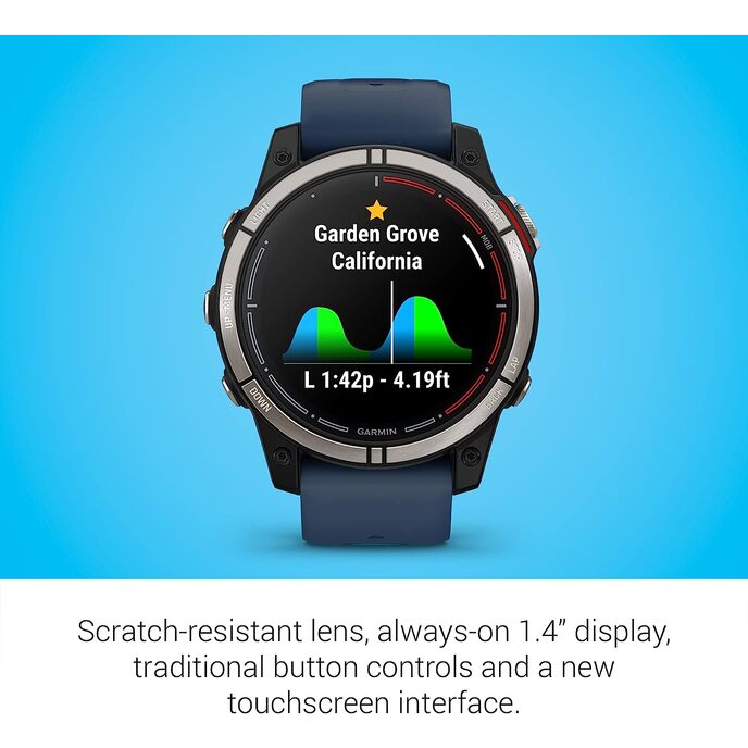
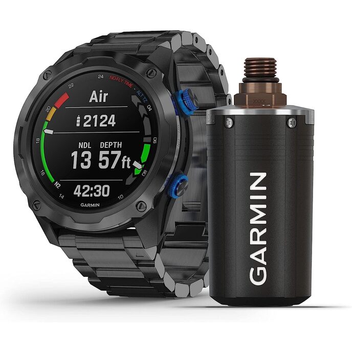
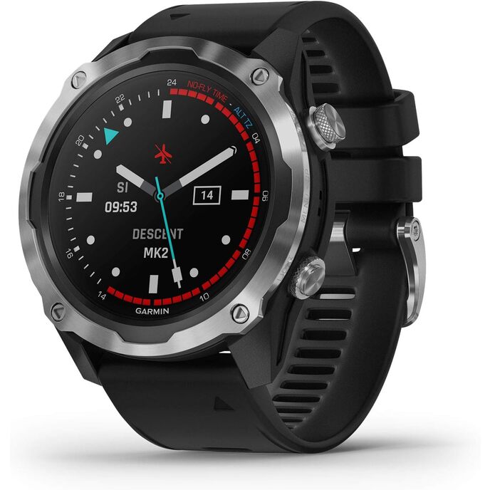
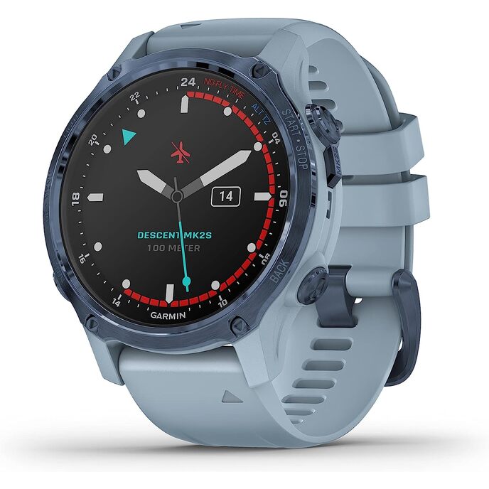
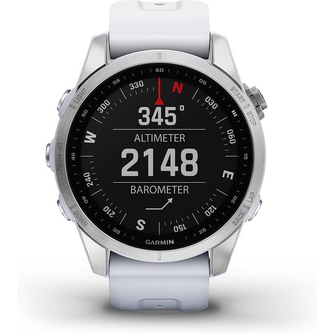
This is a remarkable wristwatch. Beautifully constructed. Visually modest, not monstrous. A powerful if complex interface. An amazingly broad range of uses. The Sapphire version's Amoled screen is very bright, clear and shows small details crisply; in any light. Vibrant color. As a Large Wristwatch, it is five-star. Marketed principally as magic for marine cruising. But if Marine is not just lakes and near coastal, no maps are available. The map for U.S. lakes and surrounds - is raster not vector, so in conjunction with Garmin's implementation of zoom, sequences of views are discontinuous, not reassuring for navigation (so not useable for navigation), e.g. blank views and others with contours unmarked for depth. One can come not-quite-close enough by setting Map Detail to Medium and Map Theme to None and carefully studying Map config under Sailing or Boat. (Free apps on Android (at least), are available with up-to-date no-cost NOAA contiguous ocean coverage. Those $0 maps are publicly available but Quatix 7, at $700->$1200 has nothing of that at any price.) Even to add maps for lake or close-in coastal you have to get to an internet connected PC or Apple to download it, install at least Garmin Connect and Garmin Express, then use a cable to send it to your Quatix. Your phone, connected to the internet, cannot be used for that, because ... ? So if you are underway you are not likely to add needed additional maps. If appropriate maps were available, there wouldn't be space because the several gigabytes the Ski Map and the other included non-marine maps occupy, cannot be freed (by the buyer). You can plan an ocean course but can't see all along the way. You can signal Man Overboard but not necessarily see the environment. It will notify your anchor is dragging, which it may well do, since the depth may not have been shown if you are not close-in coastal, and your rode length was a guess. It will count your steps or diagnose your sleep apnea, but it can't be used for its principal advertised function. Again, unless Marine no longer .... If you have $10,000+ other Garmin gear & optional$ maps, it can notify you to go see where you are on a (Garmin) chart plotter, but you may not see where you are on the Quatix. You may well end up with such Garmin gear because, though previously you could connect to your existing non-Garmin NMEA equipment, Garmin has discontinued the means (GNT 10) to do so, without anything to succeed it. The only explanation is that one role for the Quatix is to "encourage" the purchase of new Garmin marine electronics. The Quatix, at heart, is a powerful computing device, with powerful graphics, likely Fenix or another previous engine, thinly adapted to marine use, but better at helping with golf and Wellness than marine navigation. Garmin could easily remove the crippling blocks, and work to flesh out its other needed capabilities, but the bottom line seems to be in the way. If it did so, this would be a five-star device. It's false marketing, at best, but it has looks in spades. Don't press the buttons underwater, unless Bling! is your principal activity.